

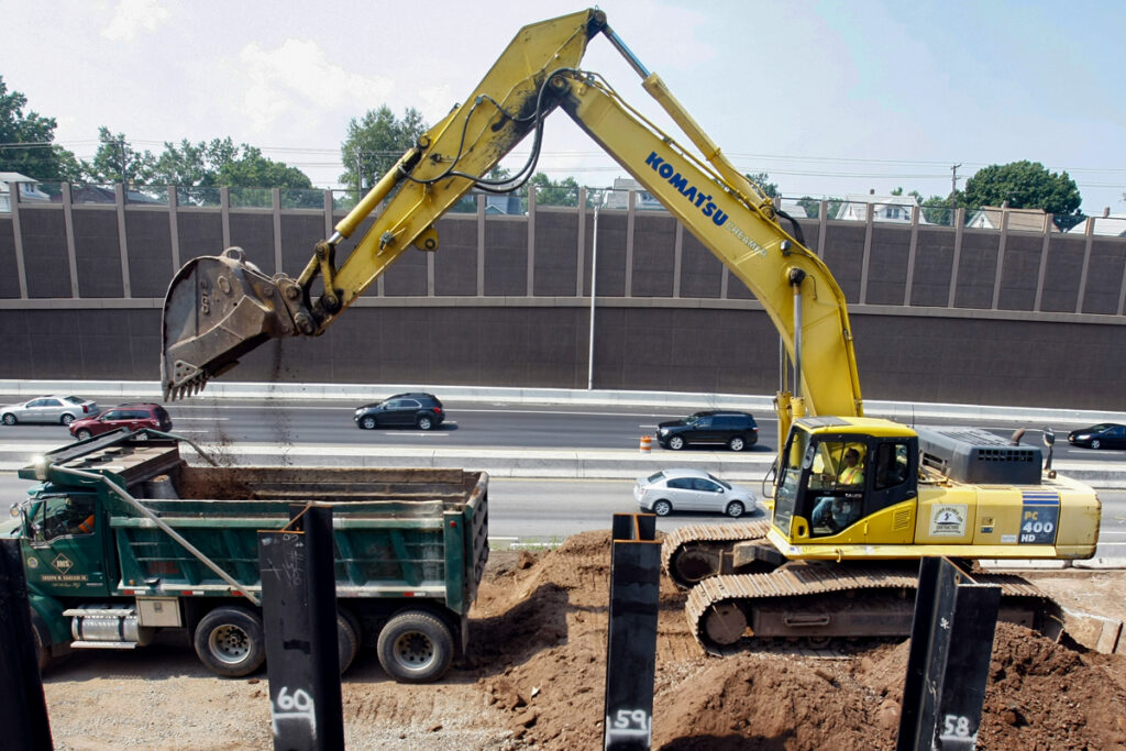
Data, Surveys, & Modeling
Data is a big part of what the NJTPA does, from current Census and demographics of the region to forecasts of needs and demands far into the future.

Forecasts
How many people will live in northern New Jersey 10 years from now? How about 25 years in the future? Which counties and towns will experience the most growth? How many jobs will there be in the region? How will all these factors affect our transportation system? And how will the transportation investment decisions we make affect these trends?
Learn More →
GIS
The NJTPA completed the Enterprise Geographic Information System (EGIS) project in 2010. The project established a central location for numerous geographic and related non-geographic data collected and stored by the NJTPA. While some of the data originates at the NJTPA, the portal also includes information from other local, regional and national sources. These data sources are used to inform NJTPA decision-making.
Learn More →
Population & Jobs Model
To help the NJTPA understand where people and businesses will likely locate in the future and how those choices will impact the transportation system, the agency maintains and applies a Demographic and Employment Forecast Model (DEFM). This spreadsheet-based model incorporates factors affecting those regional development patterns.
Learn more →
Surveys
To gather information on travel behaviors and patterns, the NJTPA and the New York Metropolitan Transportation Council (NYMTC) partnered on a large-scale effort to survey the households in the NY/NJ/CT metropolitan area.
Learn More →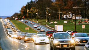
Transportation Models
The North Jersey Regional Transportation Model‑Enhanced (NJRTM‑E) is an essential tool used in the NJTPA metropolitan planning process. This travel demand model fully incorporates the multimodal nature of transportation issues facing the region so that it can be used by all major transportation agencies.
Learn More →